My study site is located outside the village of Cumberland on Vancouver Island, BC. The land sits on sand and gravel deposits and abuts a proposed industrial area known as the Bevan Lands. Previously forested with small trees and shrubs, the study site was logged and cleared in approximately 2004. The site and several nearby areas were used as gravel extraction pits and/or storage areas over the past two decades. In the site of interest, a section of this cleared land has been allowed to reestablish plant growth (Figures 1 and 2).
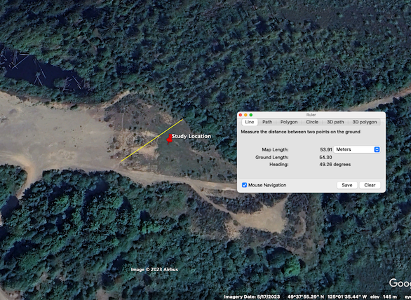
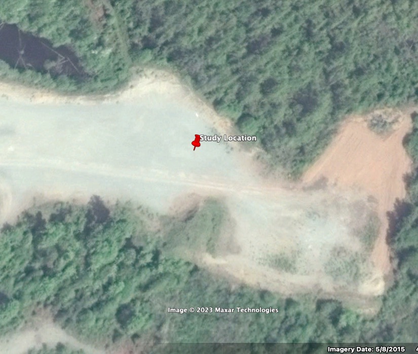
This regrowth has led to a landscape gradient of approximately 55 m from the cleared gravel surface to the area of undisturbed forest and shrubs. Across this gradient the vegetation densifies as it approaches the boundary of the undisturbed forest (Figures 3 and 4).
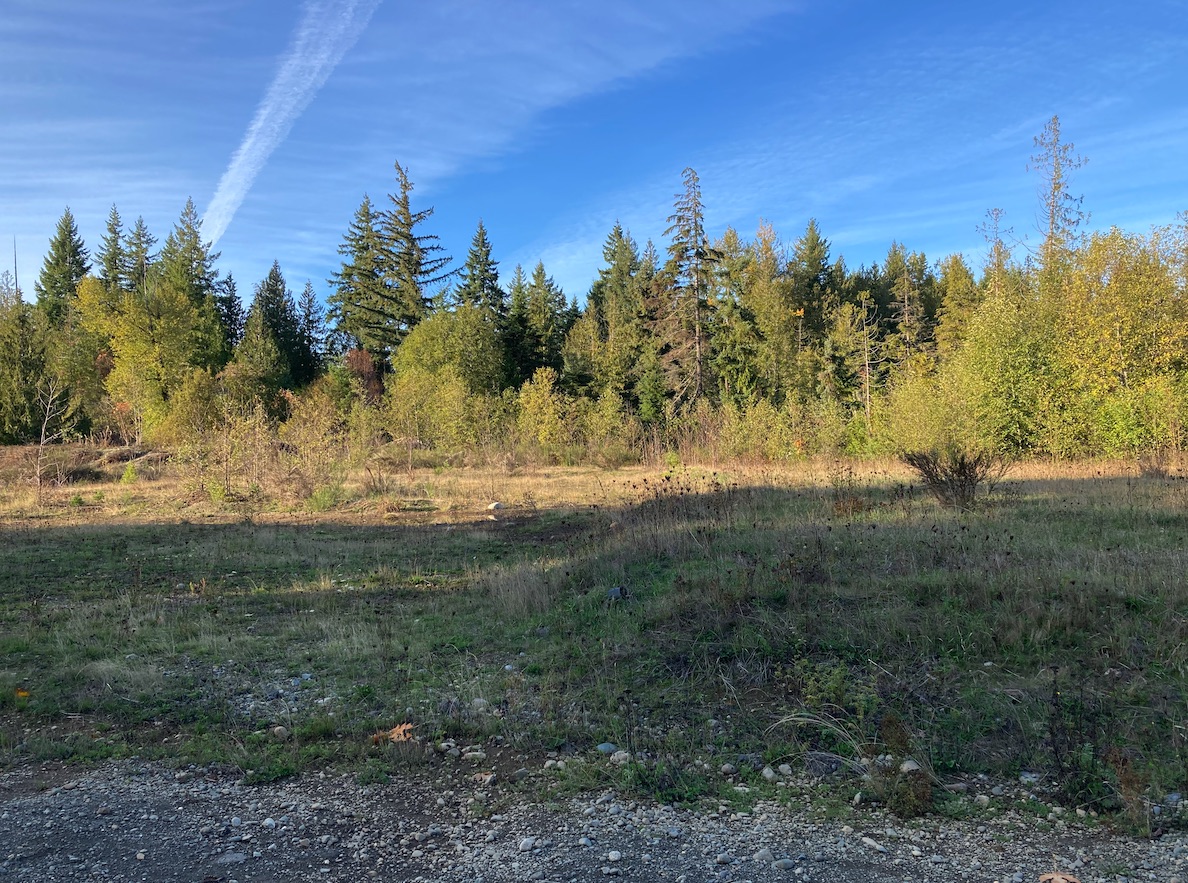
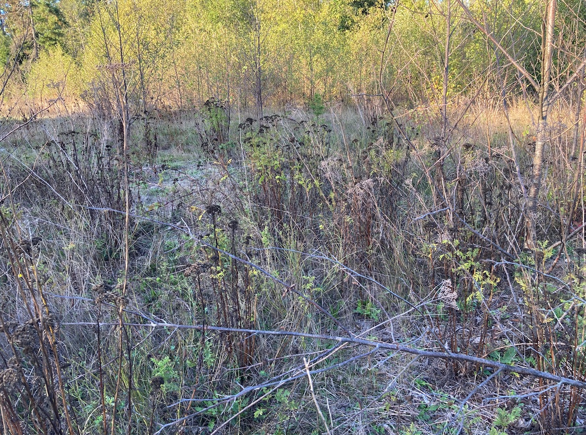
Photographs 3 and 4 were taken 12 October 2023 around 5pm (PST). The day was a sunny but cool day in the Fall season (Autumn). No field journal was completed on this first site visit.
The research questions of interest are as follows:
- Does the reestablishing vegetation have more or less heterogeneity than the undisturbed vegetation?
- Is one plant species reestablishing at a more successful rate than the others?
- If this is the case, is the more competitive plant considered an invasive species?
your observations in plant community variance are interesting.
YOu can look at diversity between the two habitats, with the thought that the open area will have greater diversity because of the lack of shade (I think).
It may be that there are more invasive species closer to the road. That would be measurable via transects and quadrats along the transects, running from the more disturbed portion towards the less disturbed portion. It would be interesting to see where (what distance) the invasive species drop off, or aren’t as dominant