For my fieldwork following is the information about the area I am using:
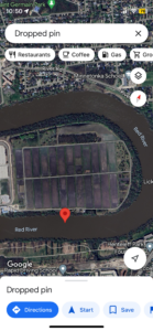
Location: Winnipeg south, MB; coordinates: 49.8127932,-97.1202333
Approximate area: 500*100 ft
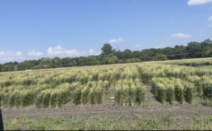
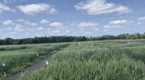
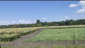
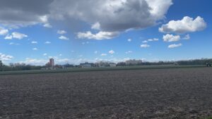
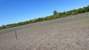
Type of ecosystem/topography: Flat agriculture field
Weather: Summer, sunny day, around 9:15 AM, 24°C
Vegetation: herbs and trees
Aspects of the ecosystem: wheat crops, barley crop, bald eagles, Cayote, crows,
fences around the field.
The interest of study: Wheat crops, deer activity, the activity of animals near the river
Reference:
Google. (n.d.). Google maps. https://www.google.ca/maps/@49.8130276,-
97.1294633,15.95z?entry=ttu
 ps, weeds, river, deer,
Your post is a bit short, you could expand on your description of the site and you are missing your three questions.